3D Scanning
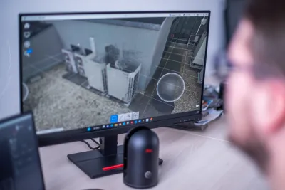
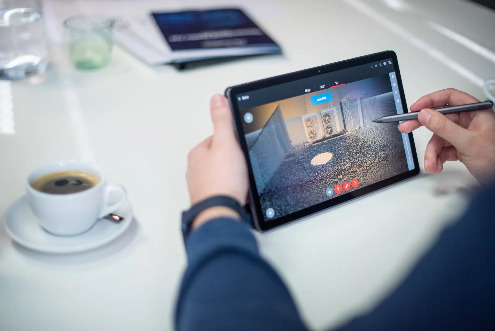
- Making panoramic images with point clouds
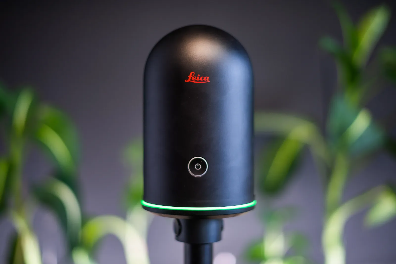
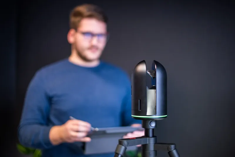
- 3D laser scanning with an accuracy of up to 4 mm and a range of 0.5 to 45 m
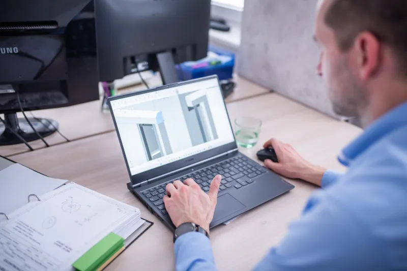
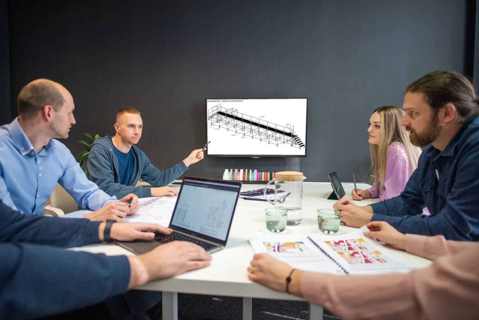
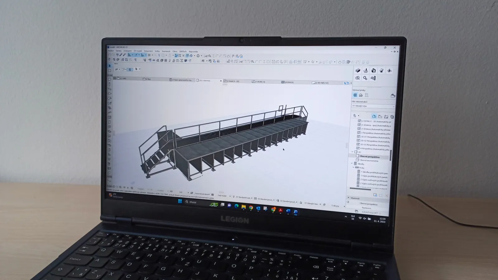
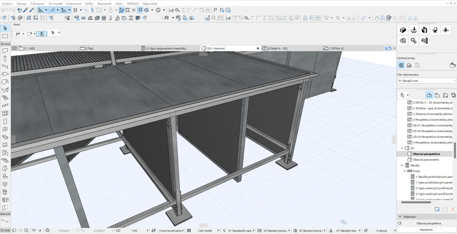
- 3D scan as a basis for architects, designers, and property owners
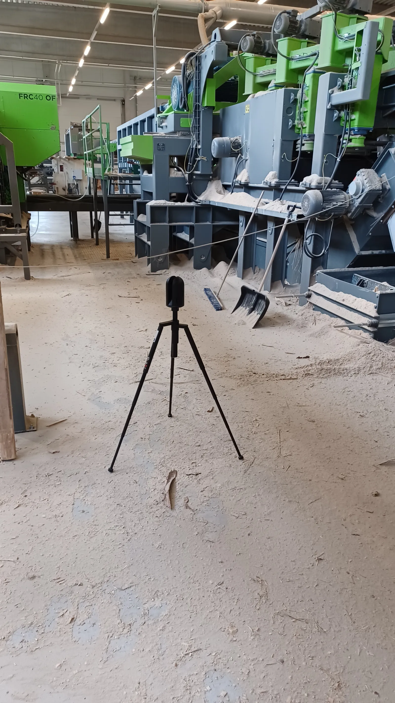
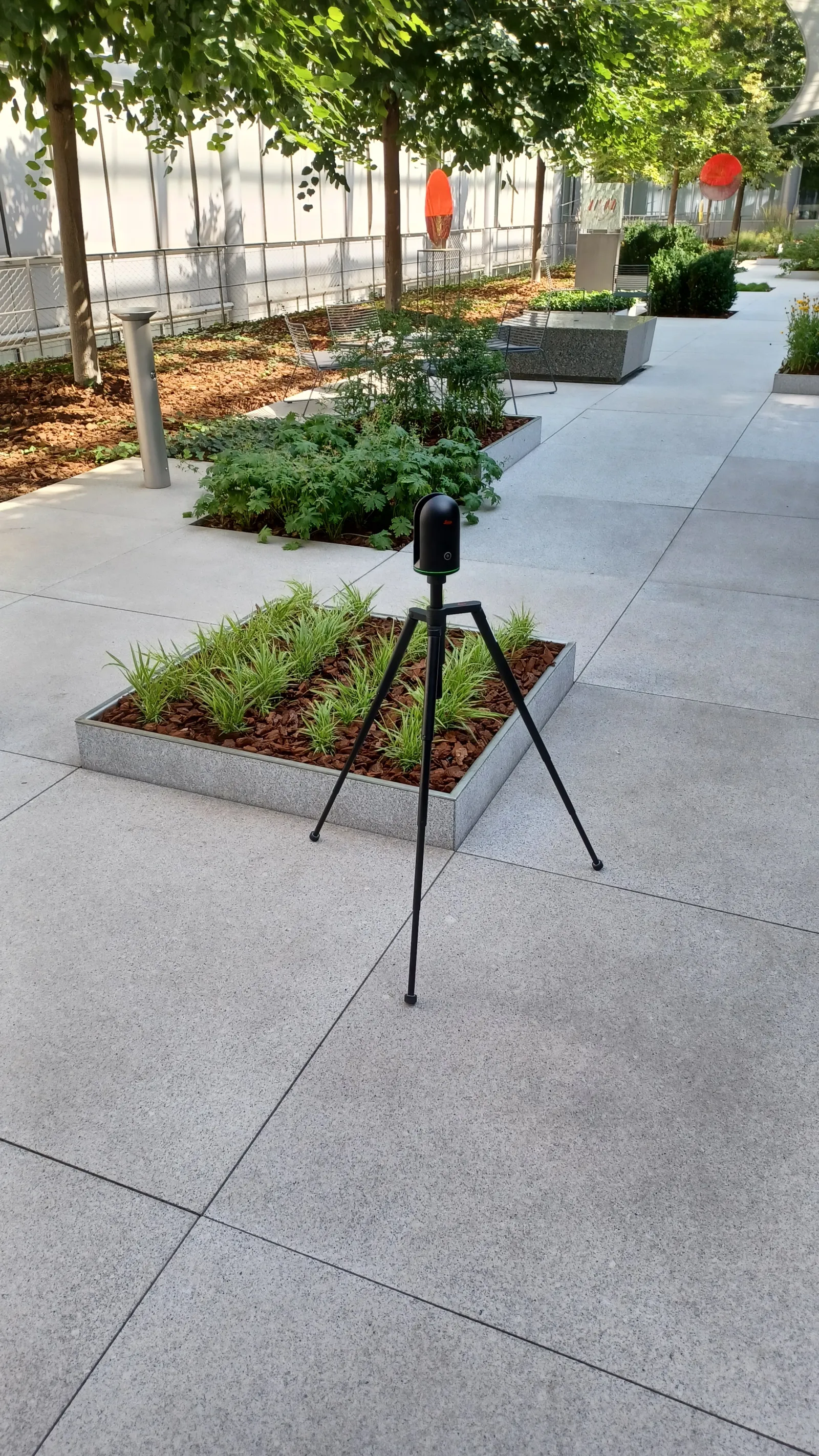
- Simple targeting of spaces of various shapes and uses – administration, residential spaces, historical buildings, cultural monuments, industry, machines, steel structures, …
- Scanning of various phases on the construction site for the digitization of built-in installations, distributions, and constructions
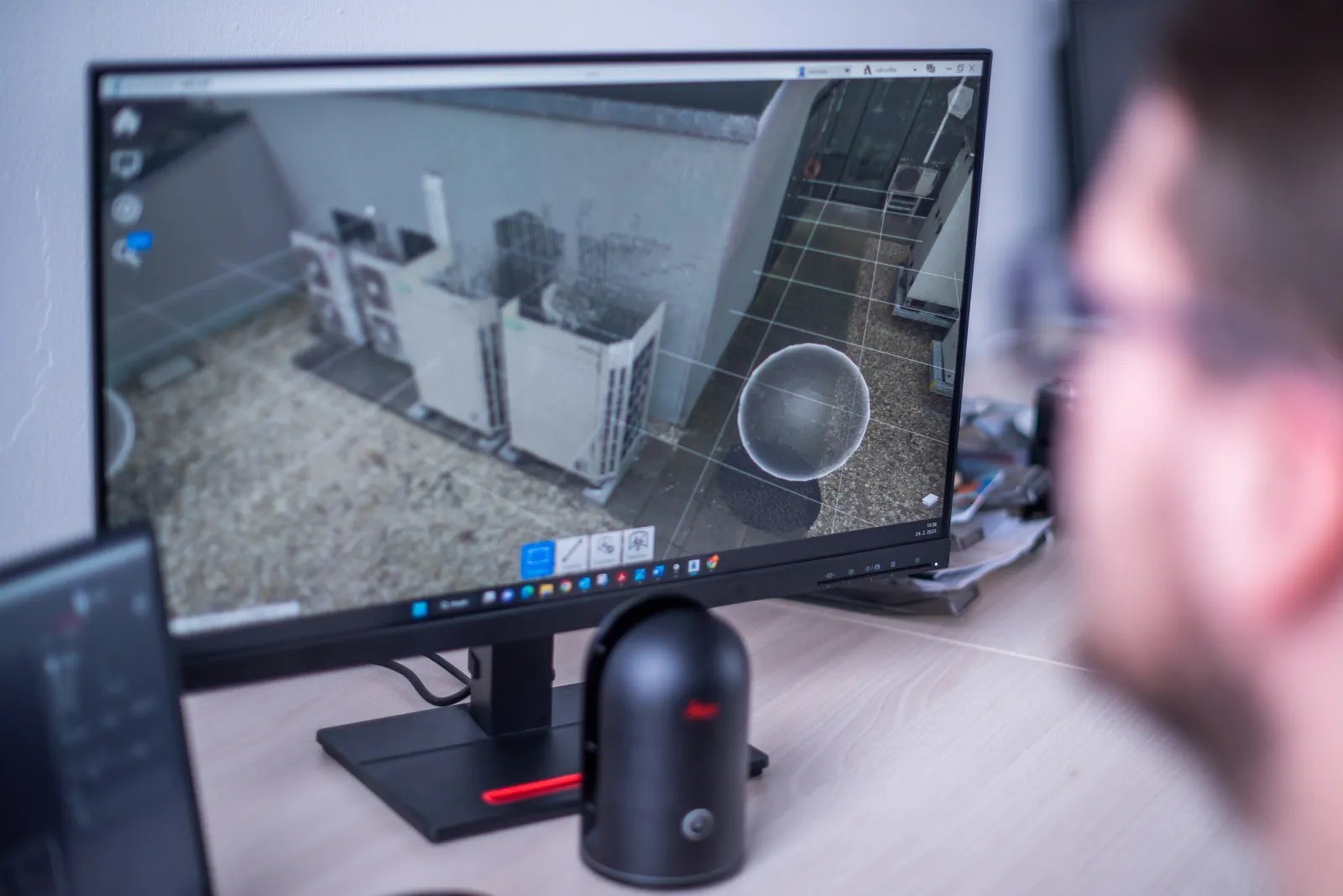
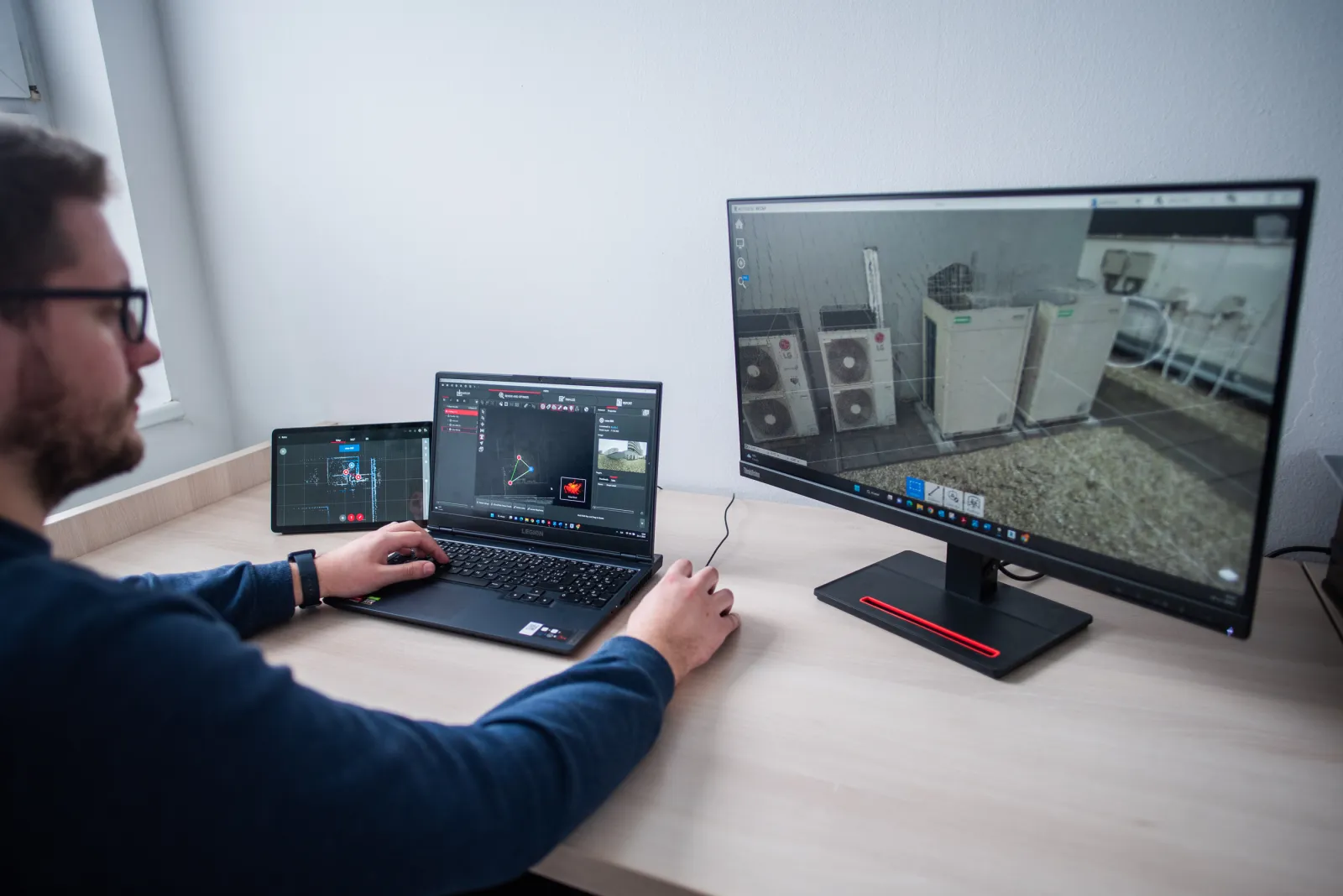
- Data export for customers with freely accessible browsing of scanned data with the possibility of measurement in a digital copy of the space
“You get the opportunity to view and measure all dimensions without the need for physical presence by digitizing your space.”
Gallery